Colo Cemetery Map
Gravesite Detail
Block / Lot / Grave
12 / 12 / 2
Latitude
42.018070
Longitude
-93.307842
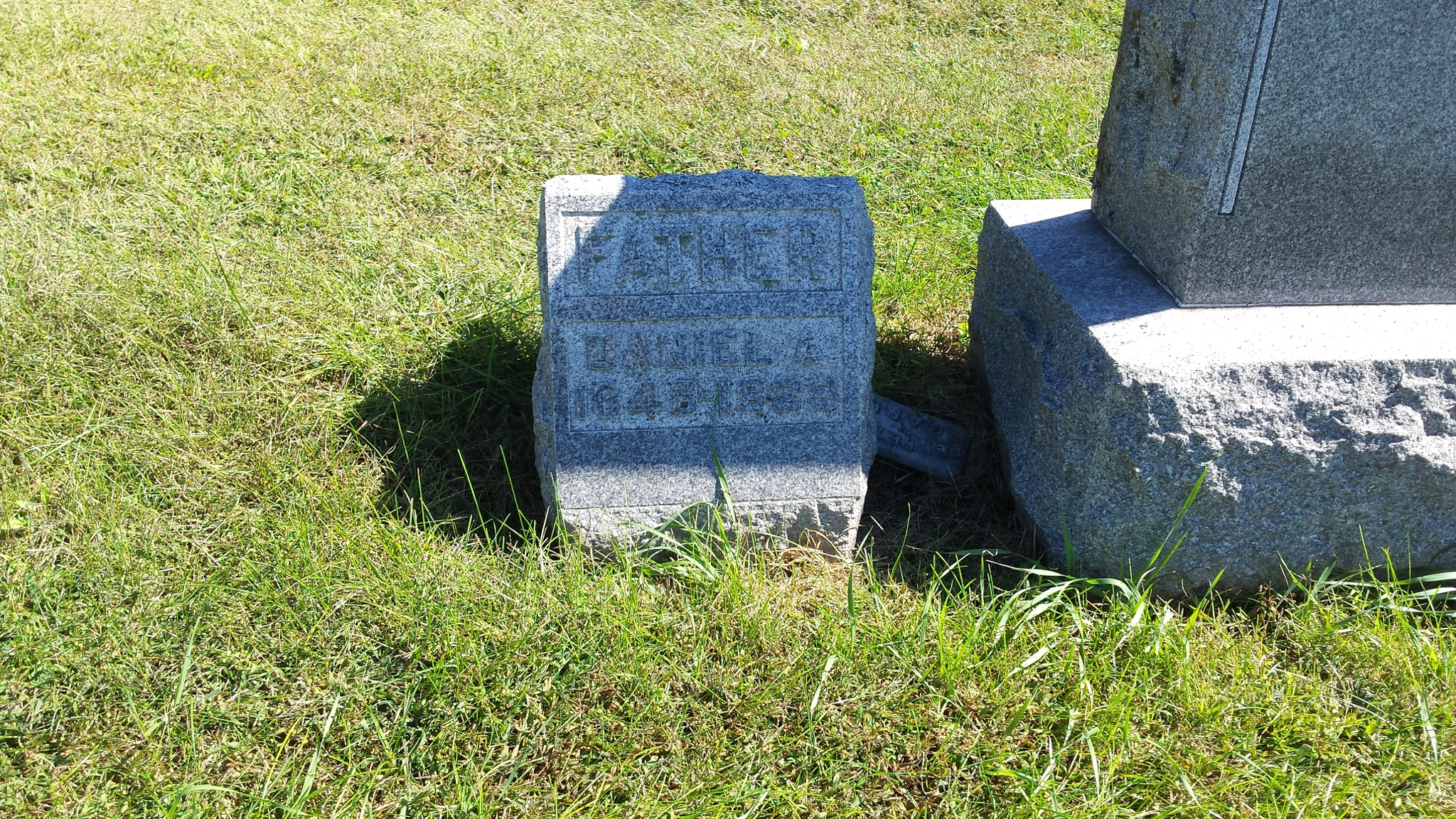
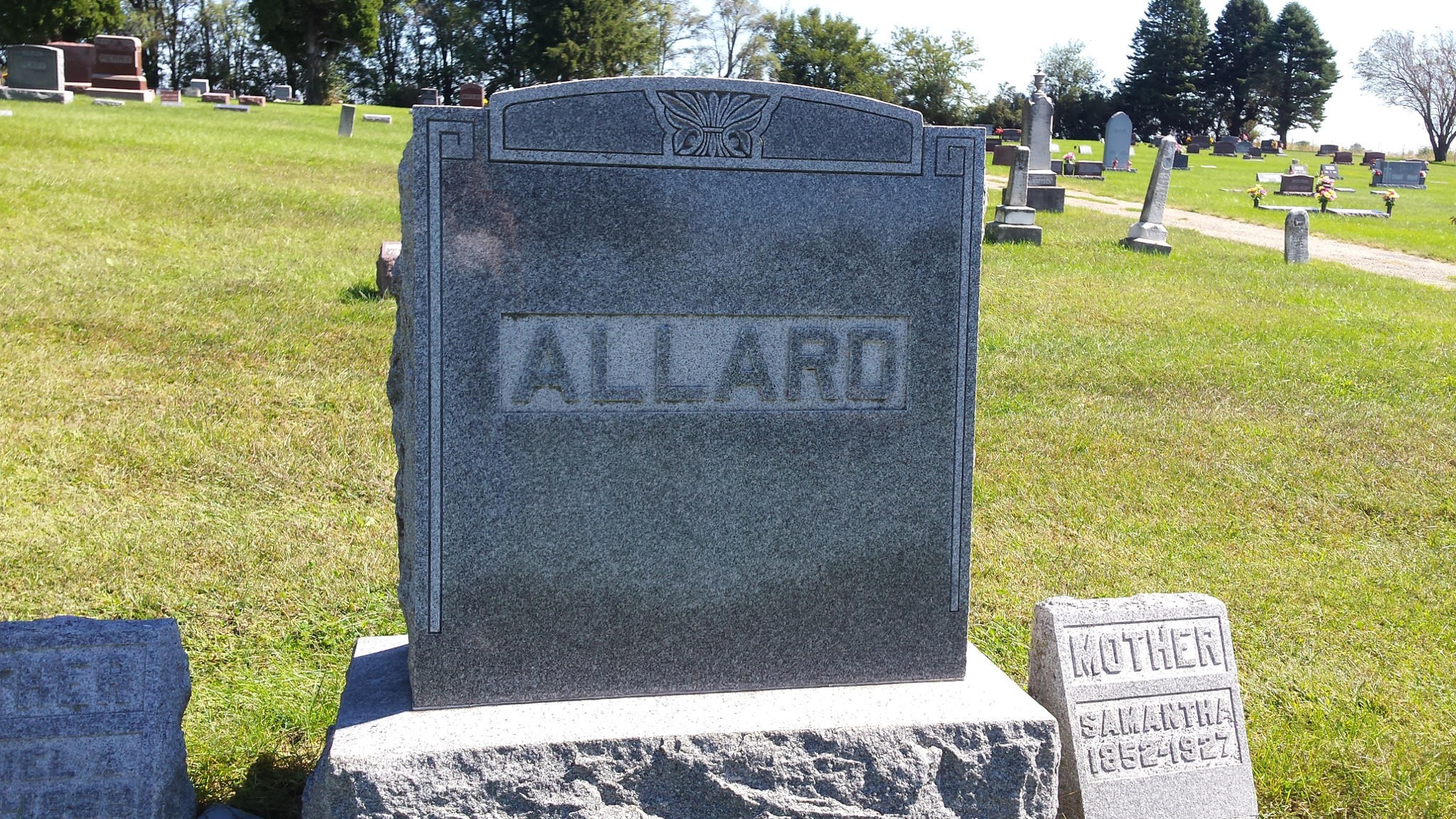
Resident
Allard, Daniel A
Birth Date
1848
Death Date
1929
Lot Owner
Allard, DA
Cremation
No
Comments
Click on photo for larger version
Close this window/tab and go back to map